India, one of the world’s largest and most diverse countries, is located in South Asia. Its latitude and longitude define its geographical position and influence its climate, time zone, and regional diversity. Understanding these coordinates helps in understanding India’s location on the global map and its strategic importance.
Latitude and Longitude of India
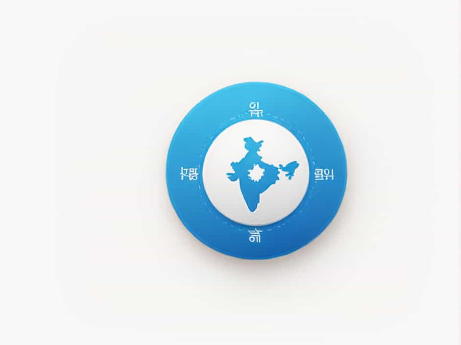
India’s geographical coordinates are:
-
Latitude: 8.4°N to 37.6°N
-
Longitude: 68.7°E to 97.25°E
These coordinates place India in the Northern Hemisphere and the Eastern Hemisphere, making it a country with a tropical and subtropical climate.
Understanding Latitude and Longitude
Before diving deeper into India’s location, let’s quickly understand what latitude and longitude mean:
-
Latitude: Measures how far a location is from the Equator (0° latitude), running horizontally across the globe.
-
Longitude: Measures how far a location is from the Prime Meridian (0° longitude), running vertically from pole to pole.
Since India lies north of the Equator and east of the Prime Meridian, it experiences diverse climates and time zones within a single country.
Northernmost and Southernmost Points of India
1. Northernmost Point
-
Located in Ladakh, near the Siachen Glacier, at approximately 37.6°N latitude.
-
This region experiences extreme cold and high-altitude conditions.
2. Southernmost Point
-
The Indira Point, located in the Nicobar Islands, is at 8.4°N latitude.
-
It is the southernmost tip of India, partially submerged due to rising sea levels.
Easternmost and Westernmost Points of India
1. Easternmost Point
-
Located in Arunachal Pradesh, at about 97.25°E longitude.
-
This region is the first in India to see sunrise.
2. Westernmost Point
-
Found in Gujarat, near the Rann of Kutch, at 68.7°E longitude.
-
This desert region is known for its salt plains and extreme temperatures.
Why India’s Coordinates Matter
1. Impact on Climate
India’s vast latitude range means it has diverse climates, from the Himalayan cold in the north to the tropical heat in the south.
-
Northern India (above 30°N latitude) experiences cold winters and hot summers.
-
Southern India (below 20°N latitude) has a moderate tropical climate with high humidity.
2. Influence on Time Zone
-
The longitude of India (68.7°E to 97.25°E) places it in the Indian Standard Time (IST) zone, which is UTC+5:30.
-
Because India spans a large east-to-west distance, some regions experience early sunrise and sunset, while others have late daylight hours.
3. Effect on Agriculture
-
Latitude influences the seasons, determining when crops can be planted and harvested.
-
Northern India relies on winter wheat farming, while southern India grows rice and tropical fruits due to its warm climate.
4. Geographical Diversity
India’s latitude and longitude also define its varied geography, including:
-
Himalayas in the north (high-altitude mountains)
-
Indo-Gangetic plains (fertile agricultural land)
-
Western deserts in Rajasthan
-
Coastal regions along the Arabian Sea and Bay of Bengal
How India’s Coordinates Shape Its Strategic Importance
1. Trade and Maritime Influence
-
India’s longitude (68.7°E to 97.25°E) places it between Asia, the Middle East, and Southeast Asia, making it a major trade hub.
-
Its southern coastline allows for easy access to international shipping routes.
2. Defense and Border Security
-
India shares land borders with Pakistan, China, Nepal, Bhutan, Bangladesh, and Myanmar, influencing security strategies.
-
The northernmost and easternmost points are sensitive military zones due to their proximity to rival nations.
3. Cultural and Religious Influence
-
India’s latitude diversity has given rise to varied cultures, languages, and traditions across different regions.
-
The Himalayas in the north have been home to ancient monasteries, while the southern coastline has rich maritime trade history.
The latitude (8.4°N to 37.6°N) and longitude (68.7°E to 97.25°E) of India define its geographical, climatic, and strategic importance. These coordinates shape the country’s climate, agriculture, trade, and culture, making India one of the most diverse nations in the world.
Understanding India’s location on the global map helps appreciate its natural beauty, economic strength, and cultural richness, making it a fascinating country to explore and study.